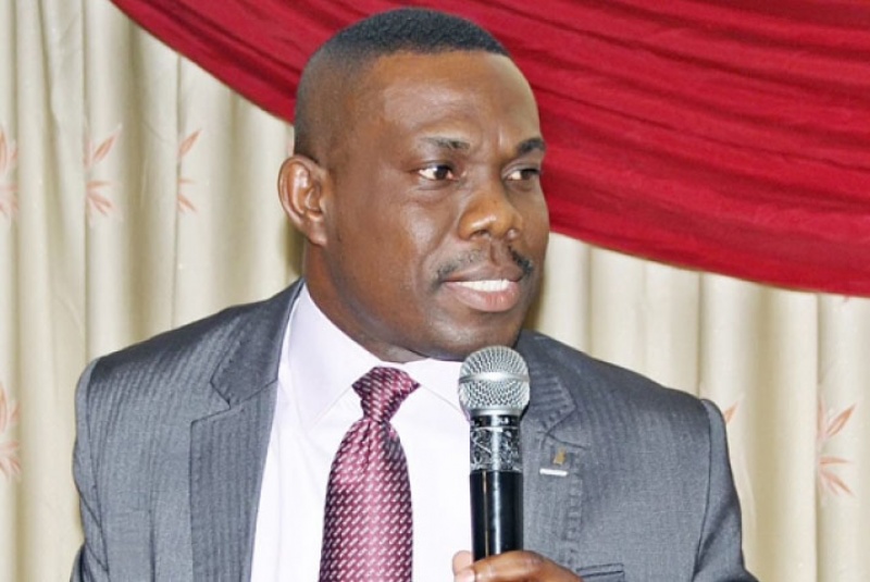
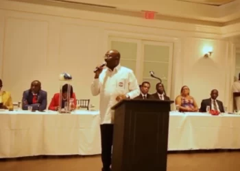
A local governance expert and Dean of Graduate Studies at the Institute of Local Governance Studies, Dr Eric Oduro Osae, has asked the Government of Ghana to, as a matter of urgency, draft the new map on the maritime boundary and present a copy to the United Nations Organisation (UNO).
According to him, there are a lot of maps detailing Ghana’s oil areas that are being circulated on social media, thereby confusing the populace with regards to the ruling by the Special Chamber of the International Tribunal of the Law of the Sea (ITLOS) on the maritime boundary case between Ghana and Cote d’Ivoire.
The ITLOS on Saturday, September 23 ruled in favour of Ghana, indicating unanimously that Ghana did not violate the rights of Cote d’Ivoire in exploring oil at the maritime boundary.
Speaking on this development in an interview with Chief Jerry Forson, host of the Ghana Yensom on Accra 100.5FM on Monday, September 25 Dr Osae said: “If you read International Law, you will realise that there is a duty on Ghana to draft the map on the maritime boundary and present a copy of that map to Secretary General of the United Nations.
“The ruling of the court last Saturday does not bind only Ghana and Ivory Coast, it binds every country in the world because under International Law, the ruling of an international court is also part of the sources of international law and so anybody dealing with Ivory Coast and Ghana, with regards to maritime issues, will have to resort to this ruling.”
Source:Ghana/AccraFM.com


